Search results for: 'Lowrance Hds 5m Color Plotter With Free Eagle Evr1 p low140 23p'
-
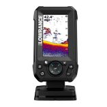 Lowrance Eagle 4x SonarSpecial Price $110.48 Regular Price $119.99
 -
-
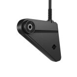
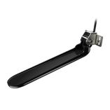 Lowrance Eagle Tripleshot Transom Mount TransducerSpecial Price $145.12 Regular Price $177.00


