Search results for: 'Raymarine A50 5 Chartplotter U S Coastal Prel p raye62184 us'
-
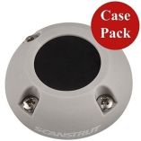 Scanstrut Ds30-P-3 Vertical Cable Seal *5-PackSpecial Price $141.11 Regular Price $224.95
 -
-
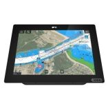
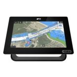 Raymarine Axiom+ 9 - 9" Mfd ChartplotterSpecial Price $1,099.48 Regular Price $1,299.99


